Boundary Staking Survey Services
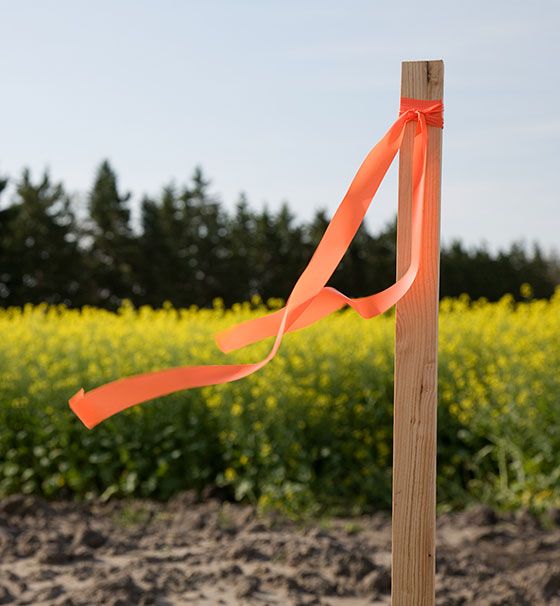
Crossroads Land Surveying works with the boundary staking surveys to fulfill the requirements listed in section K1 of the DROA form for our Hawaii Island customers. A landowner can also order this staking to identify the boundaries of a property. Our professional will locate the corners of the property, which are usually identified by half-inch iron pipes, and will typically place flagged wooden lathes near the pipes as the pipes by themselves may be difficult to see. A Survey Map is not provided with this type of survey
A survey that documents the perimeter of a tract or parcel of land by establishing or re-establishing corners, monuments, and boundary lines to describe the parcel, location fixed improvements on the parcel, dividing the parcel or for platting. Boundary surveys could be non-staked or staked, depending on the type of project or requirements. The difference between non-staked and staked is a staked survey has markers set at the property corners. Often this is used for closings and construction projects where work will be performed at or new the boundary of the lot.

Boundary Surveys (k2) Encroachment & Setback
This service is done to fulfill the requirements listed in section K2 of the Deposit Receipt Offer and Acceptance form. A land owner can also order this survey to identify the boundaries of a property and any encroachments along the property lines and setbacks. The Surveyor will locate the corners of the property, which are usually identified by half-inch iron pipes, and will typically place flagged, wooden lathes near the pipes as the pipes by themselves may be difficult to see.
Get a free estimate for our survey services!


